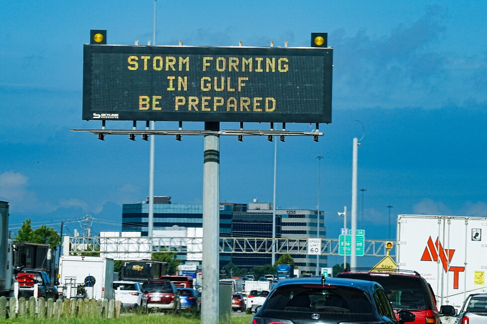
PORT ARTHUR, Texas (AP) — Former Tropical Storm Edouard weakened into a depression Tuesday night and unleashed heavy rain and strong winds on parts of Texas, knocking out power to thousands of people, toppling trees and flooding roads. The storm was downgraded hours after making landfall near the Texas-Louisiana border with maximum sustained winds of 60 mph (95 kph), according to the National Hurricane Center. Forecasters said the system would continue to lose strength as it moved inland, but would likely continue to produce heavy rain and possible flooding through Wednesday. Meanwhile, a blast of tropical weather continued in the Pacific, where three named storms churned in open waters. The hurricane center expected Edouard to dump 3 to 7 inches (8 to 17 centimeters) of rain and up to 12 inches (30 centimeters) in some areas. Storm makes landfall along Texas-Louisiana line As the center of the storm passed over Beaumont, Texas, about 80 miles (130 kilometers) northeast of Houston, city offices were closed and the Texas Office of Emergency Management warned residents to stay off the road. Across the city, trees blocking roads were downed, traffic signals were out of order and underpasses were flooded, Beaumont police said in a social media post. According to poweroutage.com, about 32,000 utility customers were without power in Jefferson County, which includes Beaumont. Your browser does not support the HTML iframe tag. Try viewing this in a modern browser such as Chrome, Safari, Firefox, or Internet Explorer 9 or later. Mike Gilbert decided before the storm to close his surf shop in Texas’ Crystal Beach because he didn’t want to risk his employees having difficulty getting home. But, he said, Tuesday ended up being all gray skies and drizzle when Edouard made landfall about 60 miles (96 kilometers) northeast of his tent. “You literally never know,” Gilbert said. “All of a sudden it could have moved more than 50 miles and picked up 20 mph with wind and it could have been a completely different story.” In Cameron, Louisiana, winds had picked up Tuesday morning and rain was coming intermittently, said Connor Salvador, owner of a trailer park near the coast. He said that while there could be “a little bit” of flooding if it rains a lot, he wasn’t too worried about Edouard. “We’re pretty used to all these types of storms coming in,” he said. Several storms in the Pacific Ocean Forecasters said the newly formed Hurricane Lowell in the Pacific Ocean was expected to remain several hundred miles away from Hawaii for at least the next few days, but storm surge from the hurricane is likely to affect parts of the islands starting Wednesday. “This hurricane is likely to increase surf and create hazardous beach and marine conditions for any boaters near the Hawaiian Islands over the next few days,” said Andrew Hagen, a forecaster with the National Hurricane Center. Subscribe to Morning Wire: Our flagship newsletter breaks down the day’s biggest headlines. Tropical Storm Marie formed in the Pacific Ocean early Tuesday, off the coast of southwestern Mexico, the center said. Forecasters said it was expected to become a hurricane on Wednesday night, and that storm surge generated by the storm would affect parts of the coast in southwestern Mexico and the Baja California peninsula over the next few days. Elsewhere in the Pacific, Karina became a hurricane on Sunday, driven by warm waters far from any coast. It strengthened into a powerful Category 4 storm on Monday, but forecasters said Tuesday it was expected to weaken. ___The story was updated to correct that Dolly was a tropical storm, not a hurricane, and to correct the spelling of Andrew Hagen, not Hagan. ___Stengle reported from Dallas. Associated Press writers Julie Walker in New York and Hallie Golden in Seattle contributed to this report.