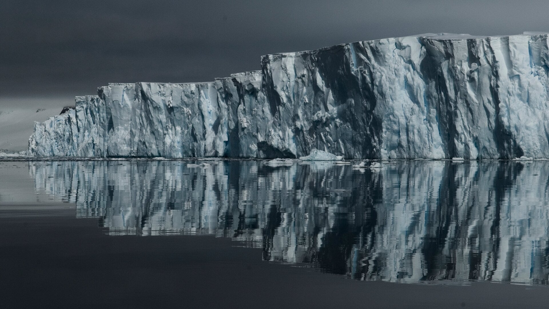
One of the most dangerous glaciers on Earth is emerging as a potentially larger driver of future sea level rise than previously thought. A team of glaciologists from the University of California and NASA’s Jet Propulsion Laboratory developed a new ice sheet model to obtain a more accurate projection of the melting of the Thwaites Glacier in West Antarctica. The findings, published in Nature Communications, estimate that the glacier could contribute up to 30 millimeters (1.2 inches) of sea level rise by 2100, even without additional climate warming. The study highlights an even greater risk of coastal flooding in the coming decades than previously estimated. Beneath the Ice Also known as Doomsday Glacier, Thwaites has undergone a profound transformation in recent decades, thinning, accelerating and receding inland as warm ocean water eats away at its floating ice shelves from below. For decades, glaciologists have relied on the concept of the “grounding line” to understand ice sheet dynamics: a distinctive boundary where ice goes from resting on bedrock to floating in the ocean, traditionally treated as a relatively narrow and stable feature. Scientists use computer models to predict how glaciers flow into the ocean and how quickly they lose ice. Meanwhile, satellite observations measure how quickly ice is moving across Antarctica. However, predictions and real-world observations don’t quite match up. Thwaites is particularly important because its ice rests on bedrock that deepens inland in many areas. As warm ocean water melts ice near its anchoring zone, the glacier can retreat into deeper waters, potentially allowing more ice to flow into the ocean. The gap between model predictions and satellite observations raises questions about whether scientists have been underestimating the pace of change in Antarctica’s glaciers. A greater risk The researchers behind the new study set out to reconcile ice sheet models with observations collected over the past 20 years. Using synthetic aperture radar data from Finland’s ICEYE satellite constellation, researchers detected fluctuations in the Thwaites Glacier’s grounding zone along its main trunk. Observations suggest that seawater penetrates several kilometers beneath the glacier ice, lifting it in response to tidal fluctuations. This movement allows pressurized seawater to travel beneath the ice, potentially bringing ocean heat inland and intensifying melting at the base of the glacier. Seawater intrusion can also be influenced by ocean currents reshaped by climate change. The recent study suggests that processes within the stranding zone are accelerating the Thwaites Glacier’s retreat from stabilizing ridges beneath the ice, allowing it to flow more rapidly toward the ocean and increasing its vulnerability to further deterioration. “We have documented and quantified the impacts of climate change on our planet’s sensitive ice sheets for decades, but in recent years the growing understanding of what is happening at the bottom of glaciers like Thwaites is generating an even greater sense of alarm,” Eric Rignot, a professor of Earth system science at the University of California, Irvine, and co-author of the study, said in a statement. “Our new model with more complete physics is able to match the record and then produces projections that are twice as large as before.”