SpaceX launches Google AI satellite, 129 other payloads on 2nd leg of spaceflight tripleheader (video)
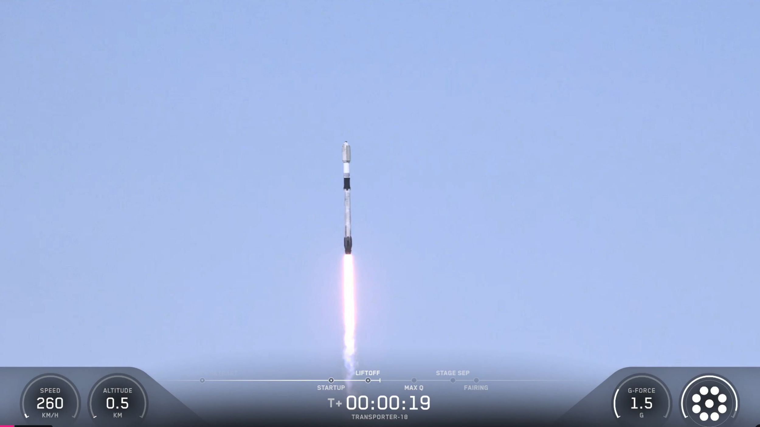
SpaceX launched 130 payloads into orbit today (Oct. 1), including a prototype Google AI satellite, in the second stage of a planned triple spaceflight. The rideshare mission, called Transporter-18, lifted off atop a Falcon 9 rocket from California’s Vandenberg Space Force Base today at 2:32 p.m. EDT (1832 GMT; 11:32 a.m. local time California), rising … Read more