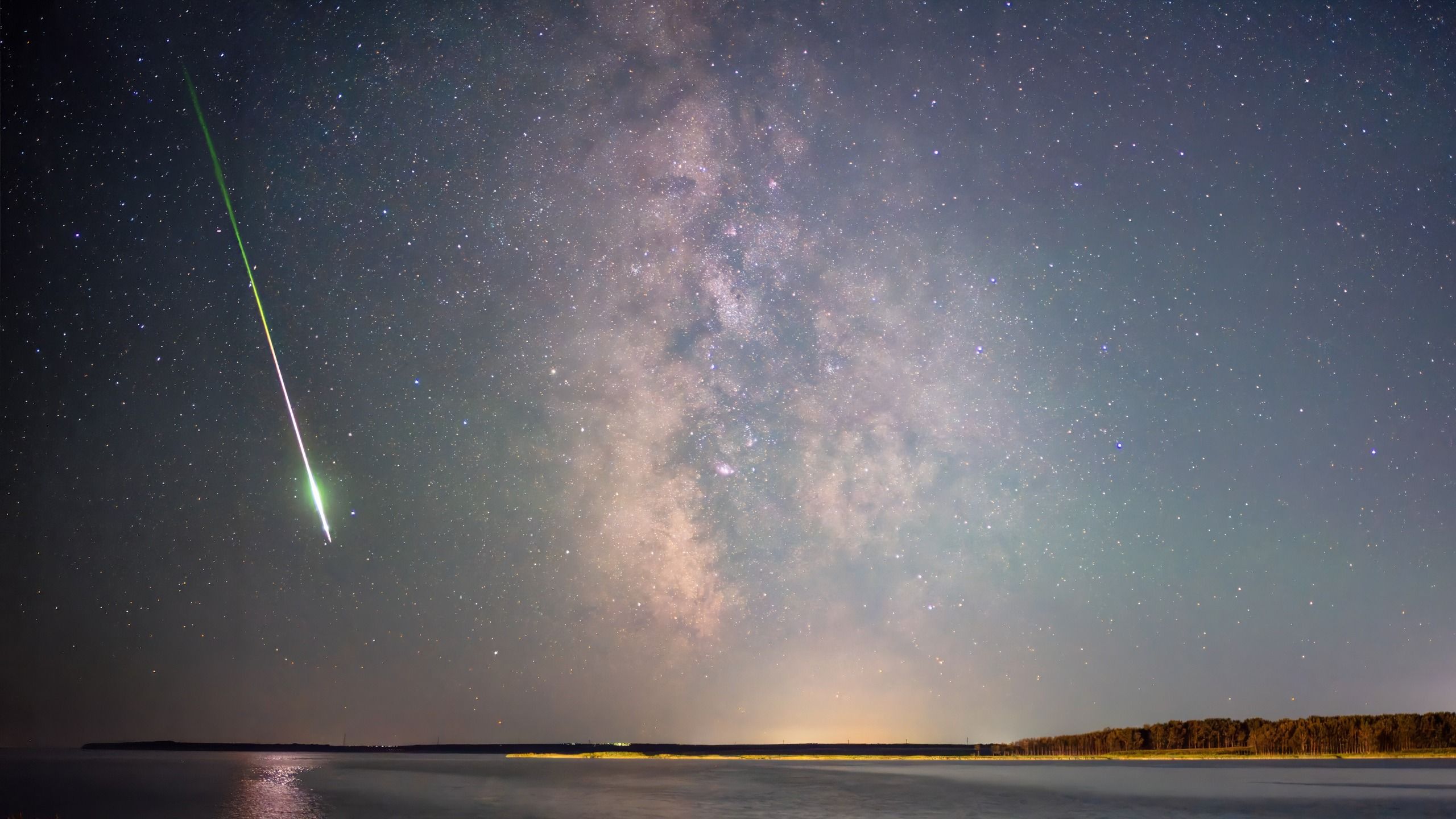
Follow Us Add us as a preferred source on Google Newsletter Subscribe to our newsletter It came from outer space, exploding high above the South Atlantic off the coast of Argentina. That April 1 event (an incoming meteor, also called a bolide) was observed by U.S. space-based civilian and military sensors. The object’s brightness peaked at an altitude of nearly 60 miles (90.5 kilometers) above the South Atlantic. That dazzling spectacle was also captured by the National Oceanic and Atmospheric Administration’s GOES-E satellite and the European Meteosat third-generation (MTG) Imager-1 satellite. Those two independent spacecraft in geostationary orbit detected the bolide through onboard ray imagers. This skyfall spectacle is among a number of recent episodes highlighting the value of combining data from multiple sensors not only to map fireball dynamics but also to help appreciate the impacts of human-caused space debris, as well as to strengthen planetary defense knowledge. You May Like Hovering in a fixed position high above Earth’s equator, the third-generation Meteosat mission is designed to deliver a rapid stream of data to improve weather forecasting. Its Lightning Imager offers a completely new capability for European weather satellites, including bolide detection. (Image credit: ESA/Mlabspace) Catastrophic fragmentation Take, for example, another extraterrestrial incident. In this case, an April 24, 2025, fireball over south-central Alaska yielded one of the most densely recorded “seismoacoustic” data sets ever obtained for a naturally created bolide on its way to exploding. A network of 37 seismological stations, 16 individual infrasound sensors and four infrasound arrays recorded 30 ballistic and multiple fragmentation arrivals. All of this was supplemented by detections of falling meteorites by Doppler weather radar and independent optical video observations. Now, add another encounter just in case. A space rock about 12 feet (3.7 meters) wide tore through Earth’s atmosphere over northwest Queensland, Australia, on May 20, 2023, accompanied by a strident round of sonic booms. And the US government’s space sensors captured the fall. What to read next Researchers later determined that the object suffered catastrophic fragmentation, producing one of the 20 most energetic events reported by NASA’s Center for Near-Earth Object Studies (CNEOS) since 1988 and the most energetic seen over Australia. It was equivalent to the explosion of a 7.1 kiloton bomb. An April 24, 2025 fireball over south-central Alaska. This illustration is a detection map showing a regional seismic-acoustic network in south-central and interior Alaska. Only stations with data available during the fireball event are shown. Green stations indicate sensors with detections. (Image credit: Scamfer, LT, et al.) Location, Time, and Estimated Energy “For many fireballs, US government detections reported through NASA’s CNEOS database provide an important starting point in establishing that an event occurred and, in many cases, providing basic parameters such as location, time, and estimated energy,” explained Elizabeth Silber, senior research and development physicist at the US Department of Energy’s Sandia National Laboratories. in New Mexico. “Civilian and scientific observation systems can add independent measurements that help refine and validate that initial characterization,” Silber said. CNEOS, based at the Jet Propulsion Laboratory in Southern California, is NASA’s center for calculating the orbits of asteroids and comets and their probabilities of colliding with Earth. CNEOS calculates high-precision orbits for such objects in support of NASA’s Planetary Defense Coordination Office. Different and complementary information “The Alaska event is an especially useful example, because it was not reported by the US government sensors in the CNEOS database. In this case, the event was reconstructed almost entirely from civil and scientific observations,” Silber told Space.com. He said seismic and infrasound data limited the trajectory and acoustic energy, video provided independent optical information. information, and weather radar detected material from the fireball that fell to Earth. “So the real advantage is that these systems provide different and complementary information,” Silber said. “When a US government detection is available, civilian data can independently validate it and add many more details. When none is available, as in this case [for Alaska]civil networks can still provide a surprisingly complete reconstruction.” The Queensland superbolide of 20 May 2023 captured by the camera using ground-based optical observations. These are selected frames from Australia’s Paddys Green station showing the evolution of the event. Frame (a) shows the initial input. Frames (b) and (c) illustrate the rapid increase in luminosity, leading to severe sensor saturation. Frame (d) shows the final stages of the trajectory. (Image credit: Elizabeth Silber, et al.) Independent view The Alaska study shows how valuable it is to gather various types of observations once an event has occurred, Silber said. Doppler weather radar can detect surviving material after it has slowed and taken flight in the dark. “Bottom line: No single sensor tells it all. “Combining independent observations allows us to go from simply knowing that an event occurred to determining how the object traveled through the atmosphere, where it broke up, how much energy it released, and whether the material could have survived to the ground,” Silber said. Artist’s rendering of NOAA’s GOES East satellite in orbit. The spacecraft provides real-time maps of lightning activity, among other duties (Image credit: NOAA) It will fall a ‘heavy rain’ Researchers got very lucky with the April 1, 2026, event over the South Atlantic, according to Rob Landis, a NASA planetary defense specialist: Two civilian spacecraft located at different locations in geosynchronous orbit allowed them to conduct a fairly unique investigation of this bolide. “With two civilian resources, we can discuss things more openly,” Landis, who is now visiting vehicle integration manager for the International Space Station at NASA’s Johnson Space Center, said. he told Space.com. Lightning observation instruments not designed to detect bolides, he said, “allow the scientific community to discuss these events and these sensors in a direct and open way. These lightning imagers give us an opportunistic scientific advantage for those studying ‘heavy rain’. “Landis said that, in his personal opinion, there are many smaller things that pass through the atmosphere. “To the casual observer, these certainly produce wonderful natural fireworks and are mostly harmless,” Landis said. But, he emphasized, it is important to be able to distinguish between natural and man-made events. “It would be a horrible tragedy if any nation responded to a natural event, if they misinterpreted it. “This is a preemptive strike,” Landis warned. Logan Scamfer, a Sandia intern, verifies data recorded by a ground sensor in Alaska. Scamfer works with Sandia physicist Elizabeth Silber, whose research focuses on using infrasound, a low-frequency sound too deep for people to hear, and seismic data to study meteorites and other fast-moving objects in the atmosphere. Observing atmospheric inputs is beneficial for planetary defense thinkers. “Planetary defense is not just about finding an object before it reaches Earth,” Silber said. “It is also about understanding what happens during atmospheric entry, that is, how the object fragments, where it deposits its energy, how accurately we can reconstruct its trajectory and whether the material survives on Earth.” The incoming events provide “real-world evidence” of the methods and models used to answer those questions, Silber said. The fall, Silber said, was particularly valuable because it was unpredictable, yet the dense ground network allowed the trajectory and energy to be reconstructed in considerable detail. “From a planetary defense perspective, that type of redundancy is extremely useful. Space observations, seismic and infrasound networks, optical cameras and weather radars provide different information and each have their own limitations,” Silber said. When multiple observation techniques are available, researchers can compare them with each other and produce a much more complete characterization of an event. “This improves post-event situational awareness, helps validate physical models, and strengthens our ability to interpret future atmospheric inputs, whether natural objects or artificial re-entries,” Silber concluded.