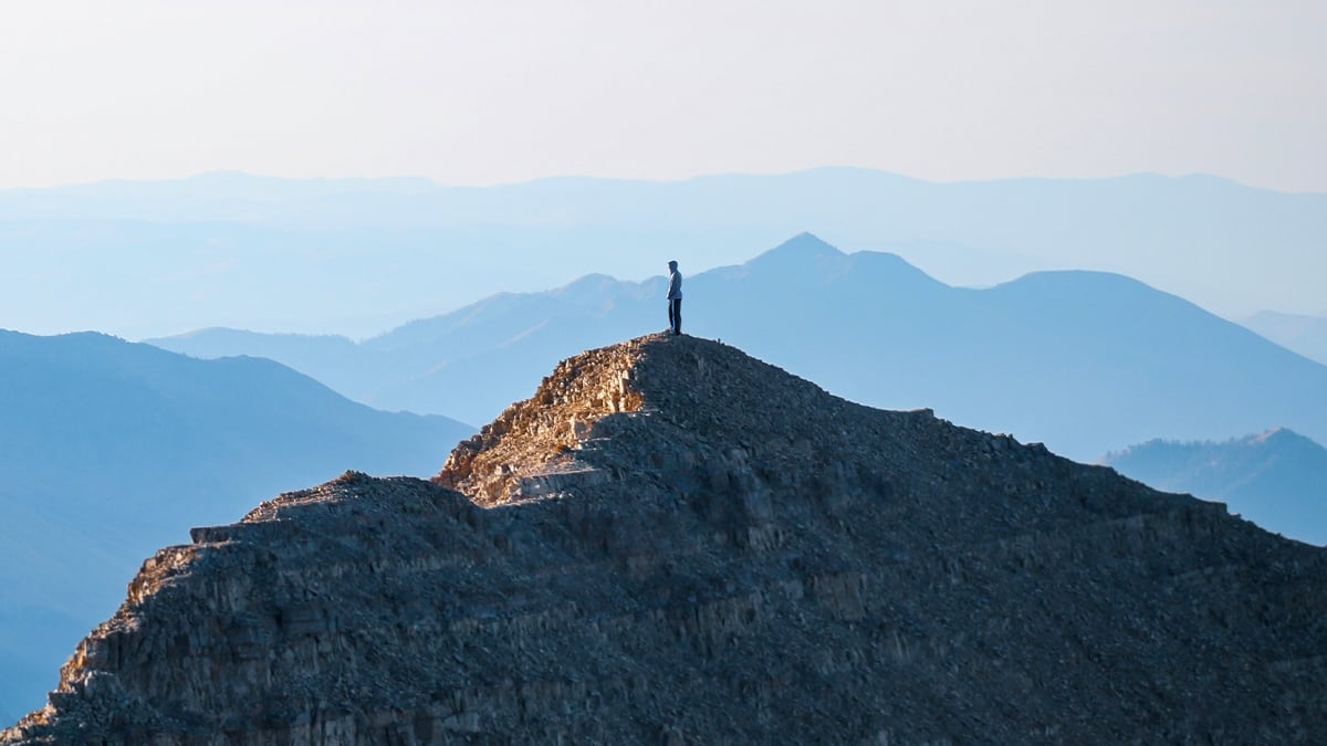
When we imagine glaciers, it’s easy to imagine vast expanses of white ice glistening under the sky. But not all glaciers take that shape. The world is covered by a different type, called rock glaciers: landforms in mountainous regions where masses of ice and rock coexist, hidden beneath a hard surface of rock and boulders. As a new study published in the Journal of Geophysical Research: Earth Surface reveals, rock glaciers can contain a truly astonishing amount of ice. There are more than 51,000 documented rock glaciers worldwide, more than 10,000 of which are located in the U.S. However, despite their prevalence, these ice-covered formations are effectively hidden from view beneath their dense layers of rock, so many people may not even know they are there. Mount Timpanogos rock glacier. (Bronson Cvijanovich/University of Utah) “When we’re high in the mountains and we’re walking on loose rocks or debris, you don’t realize there could be 120 feet of ice buried beneath your feet,” says glaciologist Leif Anderson of the University of Utah. That natural rock concealment helps preserve ice in rock glaciers, isolating it from sunlight and heat at the surface, but it’s also an obstacle for scientists. One of the challenges of studying rock glaciers and learning more about them has been the difficulty of measuring the amount of water ice they contain, due to the rock debris that covers them. In their new study, Anderson and his fellow researchers discovered a new way to quantify ice reserves in rock glaciers, using the Timpanogos Glacier at the base of Utah’s Mount Timpanogos as a test subject. While conventional images of glaciers can be obtained with ground-penetrating radar, the technique is not effective for rock glaciers. as rocky debris mixed with ice scatters radio waves and degrades image quality. An alternative approach is to use a gravimeter, which can detect and map masses hidden underground. University of Utah geology graduate student Bronson Cvijanovich, the first author of the study, operates a gravimeter while taking measurements of the Mount Timpanogos rock glacier in 2024. (Bronson Cvijanovich/University of Utah) “There is a large contrast in mass” With data available from a study of 232 measurements taken at different locations around the Timpanogos glacier, researchers developed a new method to image the ice in 3D within the glacier. rock, using Bayesian statistics and modeling techniques to reconstruct the thickness, shape and composition of the glacier. The results suggest that the Timpanogos Glacier is composed of approximately 83 percent ice and 17 percent rock debris by volume, with the ice occupying an average thickness of 18.8 meters (61.7 feet) along the length of the rock glacier. In total, the rock glacier contains approximately 1.5 million cubic meters of ice, roughly equivalent to the volume of the Great Pyramid of Giza (or about 600 Olympic swimming pools). In terms of metric tons, that means the Timpanogos Glacier contains about 1.4 million tons (1.5 million US tons) of ice hidden beneath its rocky surface, but the researchers didn’t stop there. Using data from previous studies of the internal structures of other rock glaciers, the researchers used their findings on the Timpanogos Glacier to develop a new method that can estimate the volume of ice in the rock. glaciers from measurements of their surface. By their calculations, the state of Utah as a whole contains about 1 billion tons (1 gigaton) of ice in its 836 documented rock glaciers. The western U.S. contains nearly 12 billion tons, and globally there are about 48 billion tons of ice stored within rock glaciers. Related: Scientists discover ancient traces of the oldest glaciers ever found It’s a pretty incredible new way to measure the There is a huge amount of ice hidden within rock glaciers around the world and, as researchers say, it’s important that we continue to refine our measurements of these enormous formations. “The need to quantify the water stored in these formations is increasing as glaciers respond to climate change and have the potential to become debris-covered glaciers and ultimately rock glaciers,” the team writes. “During periods of warming, rock glaciers can become destabilized and pose a threat to downstream infrastructure. Modeling these landforms in 3D can help quantify their water reserves and image their internal structure, allowing them to better limit their impacts on hydrology, ecology, and local hazards.” The findings are reported in the Journal of Geophysical Research: Earth Surface. This article was fact-checked by Rachel Garner and edited by Rebecca Dyer. While we take pride in our process, we are human. If you spot an error, please let us know.